Meronas, Amari
Friday, July 10th – Sunday, July 12th, 2026
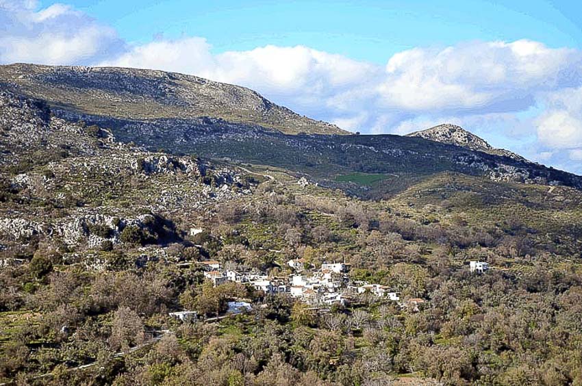
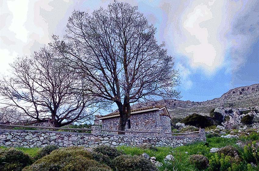
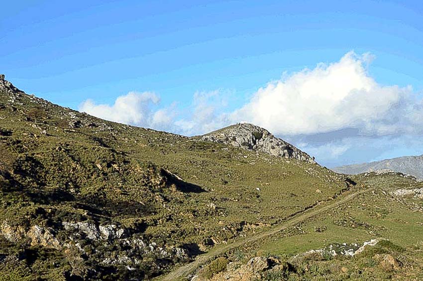
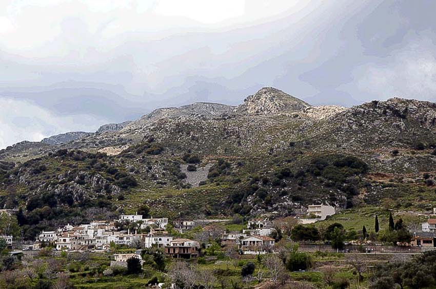
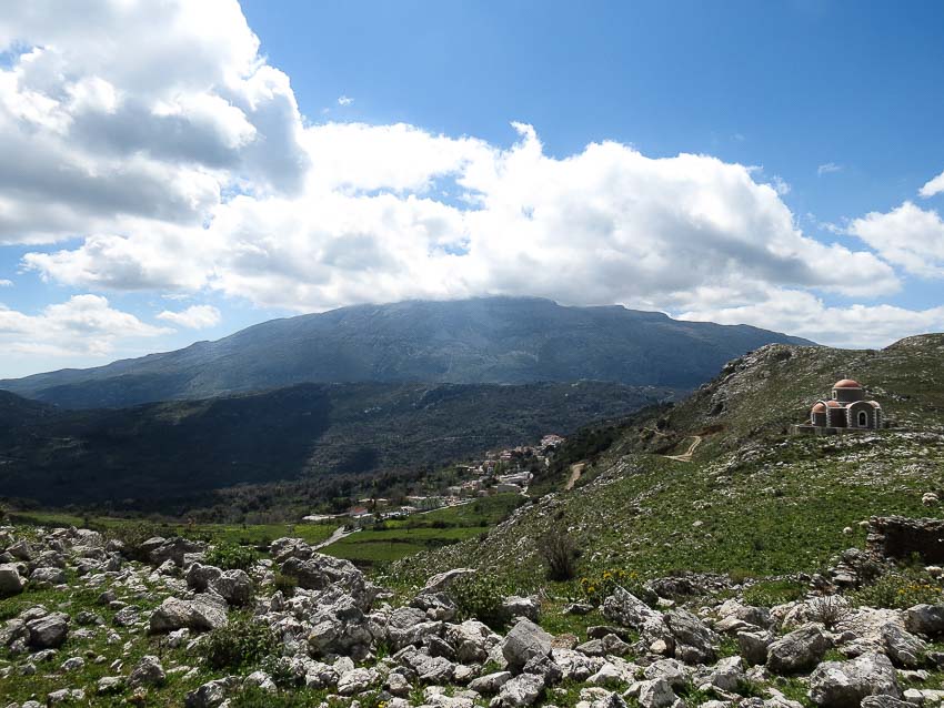
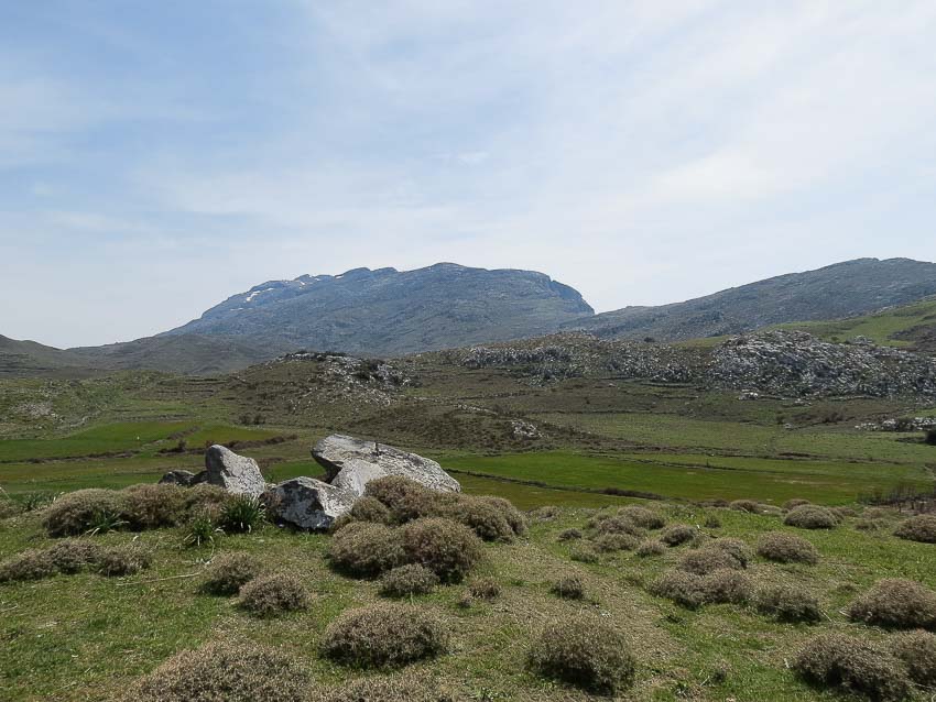
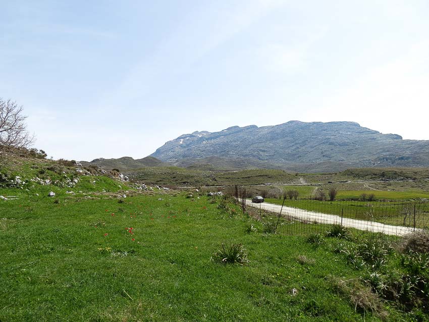
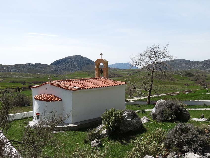
A three-day excursion to the beautiful village of Meronas in Amari, with accommodation at a model ecotourism center and mountain campsite in the hinterland of Rethymno. The center is located approximately 1 km southeast of the village, in a lush green setting near the historic 13th-century chapel of Saint Nicholas.
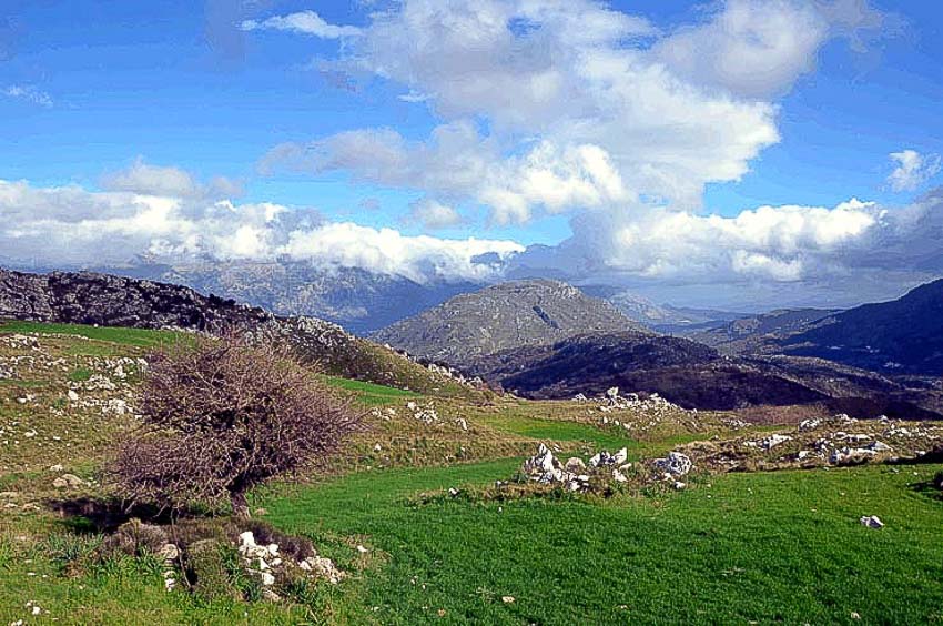
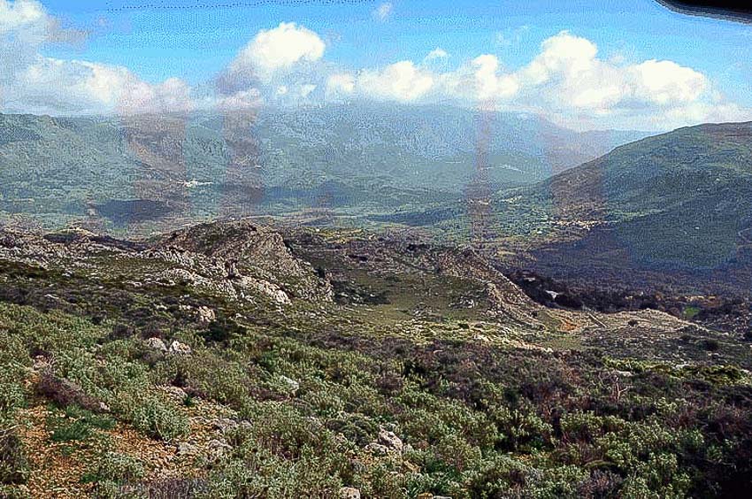
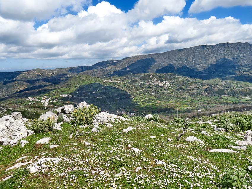
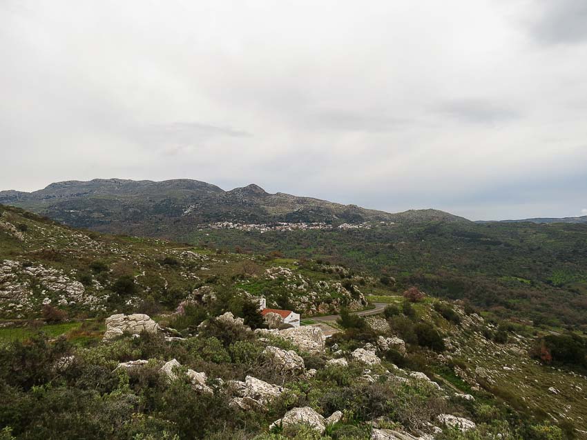
Meronas is a village and the seat of the local community of the same name within the Municipality of Amari, in the Regional Unit of Rethymno, Crete. It lies at an altitude of 620 m on the southeastern slope of a hill, overlooking Mount Psiloritis and the Amari Valley. It is situated 35 km from Rethymno.
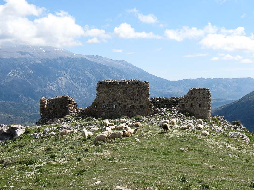
Following the Ottoman conquest of Crete, Meronas was designated in a 1648 decree as a vakif village, dedicated to supporting the maintenance of Sultan Ibrahim’s mosque in Rethymno. After the Cretan Revolution of 1866, the Ottomans built a defensive tower (koules) above Meronas, near the present-day Church of Prophet Elijah, overlooking the Amari and Potamoi valleys to control the mountain passes. According to the Egyptian census of 1834, the village was home to 54 Christian and 6 Muslim families. In 1867 it was burned by Ottoman forces during the Cretan Revolution. By 1881 it had 535 inhabitants (468 Christians and 67 Turks) and served as the seat of the Municipality of Meronas.
Detailed Program
Day 1 – Friday, July 10th
Departure: 15:00
Departure by bus for the model ecotourism center and mountain campsite in the inland region of Rethymno, located in the beautiful village of Meronas in Amari. Arrival and accommodation, followed by a free afternoon for relaxation, short walks, and dinner in the picturesque village.
Day 2 – Saturday, July 11th
Departure: 07:00
A. Long Route: Ascent of Mount Kedros from the West (Circular Route)
The ascent of Mount Kedros from Gious Kampos is one of the most varied circular hikes in central mountainous Crete. Nowhere else does Kedros appear as impressive as from its western side.
The route starts near the Church of Saint John in Gious Kampos, crosses the plateau southward, and then climbs the ridge of Trachoulas high above the villages of Kissos and Kentrochori. It continues along the shrubby slopes that extend even higher, following for much of the way the natural boundary between the Municipalities of Amari and Agios Vasileios.
The steep rocky escarpments above 1,200 m give the route a distinctly wild and alpine character. Three such sections require easy scrambling but involve no technical climbing difficulties or the use of mountaineering equipment.
From the summit (1,777 m), the view extends across central Crete and toward the southern foothills of the White Mountains to the southwest.
The return to Gious Kampos follows the classic E4 trail, passing the cave church of Prophet Elijah and descending to the area known as Mouri. Continuing about 2 km farther north, the route turns west and follows dirt roads and paths, eventually closing the circuit below Trachoulas. From there, it retraces the route back to Saint John.
Although the gradients are generally moderate, the route is demanding because of its length and the continuous movement over rocky terrain.
Start/Finish: Gious Kampos
Walking Time: 4 hrs
Difficulty: 2
Distance: 17.4 km
Minimum Elevation: 789 m
Maximum Elevation: 1,777 m
Elevation Gain/Loss: +1,176 m / -1,176 m
Gradient: Maximum +47.3% / -49.3% • Average +13.2% / -12.7%
B. Short Route: Ecotourism Exploration of Amari
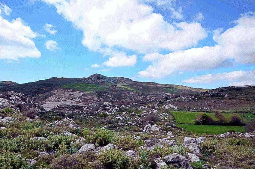
This hiking exploration of the lush countryside between Meronas and Amari offers a unique ecotourism experience in authentic Crete. The route passes through green landscapes of olive groves, walnut trees, cherry orchards, and abundant wild vegetation while revealing important aspects of the area’s history and religious heritage.
Along the way we will encounter Byzantine chapels with remarkable frescoes, ruined watermills, and churches hidden among dense foliage. Highlights include the churches of Saint Anna, Saint George, Panagia Mavridiani, and the famous church of Kera Panagia on the western edge of the Asomathianos Plain.
The route also passes through the picturesque village of Amari, one of Crete’s most charming settlements, with traditional stone houses, flower-filled courtyards, and a peaceful atmosphere. Visitors are impressed by the village’s architecture and especially by the panoramic view from its characteristic bell tower overlooking the settlement.
Ancient olive trees of extraordinary shape and age, some over 2,000 years old, stand as living monuments to the region’s long history.
Natural and photographic highlights, such as the stone bridge over the Ligiotis River near Kera Panagia, complete an experience that harmoniously combines nature, culture, history, and tradition.
The route is circular, follows mainly dirt roads, and despite its considerable length (12.1 km), is easy enough for beginner hikers.
Start/Finish: Meronas
Walking Time: 4 hrs
Difficulty: 1
Distance: 12.1 km
Minimum Elevation: 334 m
Maximum Elevation: 638 m
Elevation Gain/Loss: +464 m / -464 m
Gradient: Maximum +22.7% / -21.3% • Average +7.6%
Day 3 – Sunday, July 12th
Departure: 09:00
Patsos Gorge Crossing
The crossing of Patsos Gorge is an excellent alternative for those who do not wish to undertake the demanding ascent of Mount Kedros, while still offering a strong sense of adventure in one of Crete’s smaller gorges—a miniature replica of the island’s famous larger gorges.
The hike through the narrow walls requires some easy scrambling over slopes and giant boulders that obstruct the streambed. The route is equipped where necessary with steel cables, wooden walkways, and excellent trail markings.
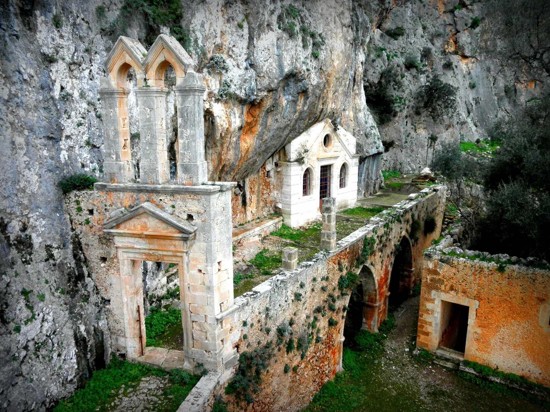
Crossing the gorge from its northern entrance to its southern exit, just beyond the spring of Kranaios Hermes and the cave church of Saint Anthony, is an experience that anyone who loves nature and adventure should try, regardless of age or mountaineering experience.
Alternative Option:
For those who do not wish to complete the entire crossing, a short circular walk in the southern section of the gorge offers easy hiking on a well-maintained trail and excellent opportunities for photography, both within the gorge and from a viewpoint high above its dramatic southern cliffs.
This alternative requires approximately 30–40 minutes of walking. Additional information will be provided the day before the hike.
Starting Point: South of Potamoi Lake, on the road to Voleones
Finish: Southern end of the gorge, just beyond Saint Anthony
Walking Time: 2 hrs
Difficulty: 1
Distance: 4 km
Minimum Elevation: 202 m
Maximum Elevation: 349 m
Elevation Gain/Loss: +348 m / -251 m
Gradient: Maximum +78.1% / -60.49% • Average +15.1% / -14.5%
**The program may be modified depending on prevailing conditions.
IMPORTANT: Participation registrations must be submitted by Wednesday, July 1st, 2026.
Payment should be made to the EOS Heraklion bank accounts, and proof of payment should be emailed to the Association:
Alpha Bank IBAN: GR76 0140 6610 6610 0233 0001 166
Piraeus Bank IBAN: GR05 0171 9120 0069 1215 4711 881
Leader: Thomais Petropoulou
Information – Registrations:Monday to Friday, 20:00–22:00, at the offices of the Mountaineering Club of Heraklion, 53 Dikaiosynis Street, Heraklion, Crete, Tel.: +30 2810227609, Email: info@eos-her.gr